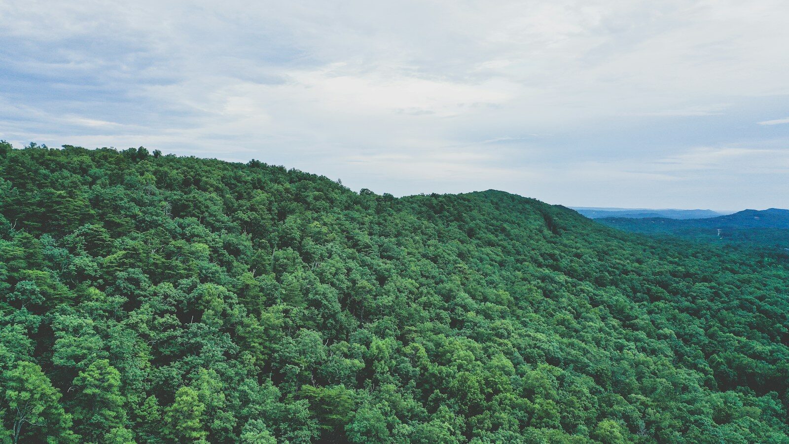
Are There Mountains in Alabama? Where to Find the State’s Highest and Most Scenic Peaks
Yes. Alabama has real mountains, and they are much more than a few steep hills. The state reaches into the southern end of the Appalachian mountain system, especially across northeast and east-central Alabama. The highest point is Cheaha Mountain at 2,407 feet above sea level.
That may sound modest next to the Rockies or the taller peaks of Arizona. Still, Alabama’s mountain country has long ridges, rocky overlooks, deep canyons, waterfalls, hardwood forests, and enough elevation change to make a hike feel very much like a mountain hike.
Where the mountains are in Alabama
If you drive through southern or western Alabama, you may wonder where all these mountains are hiding. Most of them are in the northeastern and east-central part of the state.
This is where Alabama meets the southern Appalachian landscape. The terrain gets rougher as you move toward places such as Fort Payne, Mentone, Anniston, and the Talladega National Forest. Long wooded ridges replace the flatter land found in much of the state.
Lookout Mountain is one of the easiest examples to see. It runs through northeast Alabama and continues into Georgia and Tennessee. Little River flows for most of its length on top of Lookout Mountain before cutting a dramatic canyon into the rock.
Farther south, the Cheaha area rises above the surrounding country in the Talladega National Forest. This is where you’ll find Alabama’s highest point.
Cheaha Mountain is the highest point
Cheaha Mountain reaches 2,407 feet. The U.S. Geological Survey lists it as the highest point in Alabama.
Cheaha sits inside Cheaha State Park, surrounded by the Talladega National Forest. You don’t have to be a serious climber to reach the high point. Roads lead into the park, and visitors can explore overlooks, trails, camping areas, and the historic Bunker Tower area.
That makes Cheaha a good choice if you want mountain scenery without planning a hard backcountry trip. You can make the visit as easy or active as you want.
The elevation also changes the feel of the place. Forested slopes, exposed rock, broad views, and cooler conditions at times can make Cheaha seem far removed from the lower parts of Alabama.
Are Alabama’s mountains part of the Appalachians?
Yes. The mountain country of northeast Alabama belongs to the southern Appalachian region.
That matters because the Appalachians do not stop at Tennessee or North Carolina. The system extends south into Alabama. The landscape changes as it reaches the state, but the connection is real.
Little River Canyon National Preserve, for example, describes its setting as part of the Southern Appalachians. The preserve also lies along the southern limits of the Cumberland Plateau. These names can get confusing because a mountain region can contain plateaus, ridges, valleys, and deeply cut canyons all at once.
In plain English, northeast Alabama is where the state’s terrain starts looking and feeling unmistakably Appalachian.
Little River Canyon shows how rugged Alabama can get
One of the best places to understand Alabama’s mountain landscape is Little River Canyon National Preserve near Fort Payne.
Little River runs along Lookout Mountain and cuts through sandstone to form a deep canyon. The National Park Service says the canyon can reach about 500 feet from the cliff edge to the river bottom in places. It is the deepest canyon in Alabama and one of the deepest in the Southeast.
The area has bluffs, waterfalls, wooded uplands, boulders, pools, and steep canyon walls. Little River Falls drops about 45 feet near the beginning of the canyon.
You don’t have to hike to the bottom to appreciate it. An 11-mile scenic drive along the canyon rim has several overlooks. That is useful for families, travelers with limited time, or anyone who wants the views without a strenuous hike.
If you do hike, don’t let the Alabama address fool you. Steep grades, slick rock, heat, sudden weather changes, and rough terrain can turn a short outing into a serious one. Carry water and use trails that fit your ability.
How Alabama compares with Arizona
For an Arizona reader, the scale is quite different. Arizona’s Humphreys Peak reaches 12,633 feet, while Alabama tops out at 2,407 feet. So nobody is going to confuse Cheaha with the San Francisco Peaks.
But elevation alone doesn’t tell you what a place feels like.
Alabama’s mountains are lower, wetter, and heavily wooded. Views often open suddenly from a ridge or rock ledge instead of staying visible for miles across open desert. Streams and waterfalls are a much bigger part of the experience. In warm months, the forest can be thick enough to make the trail feel enclosed.
The humidity is another difference. A 90-degree Alabama hike can feel harder than the elevation number suggests. Shade helps, but sweat doesn’t evaporate as quickly as it does in Arizona’s dry air.
So if you’re used to hiking around Phoenix or Tucson, don’t judge an Alabama trail only by its altitude. Distance, humidity, mud, roots, rocks, and elevation gain still count.
Good places to see Alabama mountain scenery
You have several good choices, and you don’t need a week-long trip to enjoy them.
- Cheaha State Park: Go here for the state’s highest point, overlooks, trails, camping, and easy access to the Talladega National Forest.
- Little River Canyon National Preserve: A strong choice for canyon views, waterfalls, scenic driving, hiking, and a clear look at Lookout Mountain country.
- Lookout Mountain: The broader Fort Payne and Mentone area gives you wooded ridges, waterfalls, and classic northeast Alabama scenery.
- Talladega National Forest: This large public-land area surrounds Cheaha and offers a wilder mountain setting beyond the developed state park.
Fall gets a lot of attention because hardwood leaves change color. Spring is also a fine time to visit, with green forests, flowing water, and milder temperatures. Summer can be beautiful, but heat and humidity deserve respect.
You don’t need climbing gear to enjoy them
The word “mountain” can make a trip sound more demanding than it is. Alabama has plenty of mountain experiences that work for casual visitors.
At Little River Canyon, for example, the scenic drive lets you stop at overlooks with little walking. At Cheaha, you can drive into the park and choose short walks or longer trails from there.
Still, check current conditions before you go. Roads, trails, facilities, fees, and hours can change. Little River Canyon’s main scenic areas are generally open during daylight hours, while Canyon Mouth Park has seasonal closing times and a day-use fee. Cheaha also has its own admission, lodging, camping, and facility information.
Cell service can be less reliable in rough country too. A downloaded map, water, sturdy shoes, and a basic plan are simple things that make the day easier.
Alabama gets taller than many people expect
Alabama is not a high-mountain state, but calling it flat misses a big part of the landscape. Drive into the northeast and the state changes. Ridges rise. Roads curve. Water drops over rock ledges. Deep valleys and canyons cut through thick forest.
Cheaha Mountain gives Alabama a 2,407-foot high point, while Lookout Mountain and Little River Canyon show that the state’s Appalachian character is about more than one summit.
If you’ve only seen Alabama from the Gulf Coast or the flatter central and southern parts of the state, the mountain country can be a surprise. It is still Alabama. It just looks like a very different side of it.
Yes, Alabama has real mountains. See where the Southern Appalachians reach the state, how high Cheaha Mountain rises, and where to find the best mountain scenery.
Yes, Alabama has real mountains. See where the Southern Appalachians reach the state, how high Cheaha Mountain rises, and where to find the best mountain scenery.